📞 07740 251154 | admin@ercsinternational.com | Office Time: Mon-Fri: 08:30 – 17:30


UXO Technologies
LiDAR
Magnetometry
Magnetometry

Capture accurate topographic data, orthomosaic imagery, and digital terrain models (DTMs) in days, not weeks, enabling informed land assessments and faster planning submissions.
Magnetometry
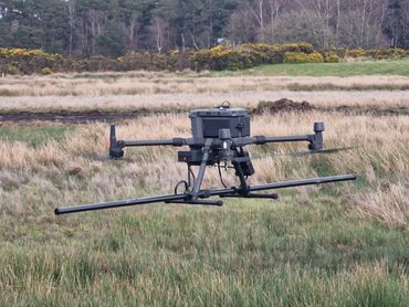
Magnetometry
Magnetometry
Magnetometry detects changes in the Earth’s magnetic field to locate buried objects and geological features. It offers a fast, accurate, and non-intrusive way to map subsurface conditions without excavation to identify unexploded ordnance.